Which type of surveying would be best for my project?
The answer depends on the situation.
Factors determining the most suitable surveying method:
– Required elevation survey accuracy.
– Survey point density.
– Reliability.
– Presence and type of vegetation.
– Contractor’s track record.
– Timing.
– Cost.
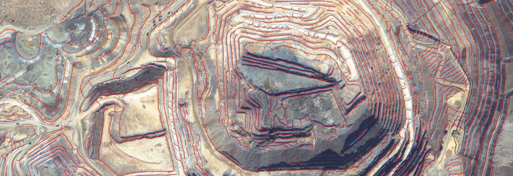
For surveying situations that are not simple and obvious, the white paper identifies the factors that should be considered when selecting the best survey method.
PhotoSat founder and President, Gerry Mitchell P.Geo, has prepared a white paper discussing various surveying options. He first identifies the situations where the choice of most cost effective survey method is simple and obvious.
Download white paper to learn more
Review of PhotoSat, LiDAR, Drones and GPS surveys
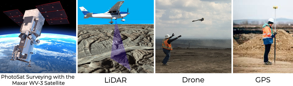
LiDAR surveys are generally very accurate. About 50% of the Drone surveys that PhotoSat has incorporated into mapping projects have had elevation errors exceeding one meter. The quality of GPS survey results improves dramatically when digital files of the GPS recording are included with the survey results.

{{ commodity.name }}
{{ post.title }}
{{ post.date }}


Comments