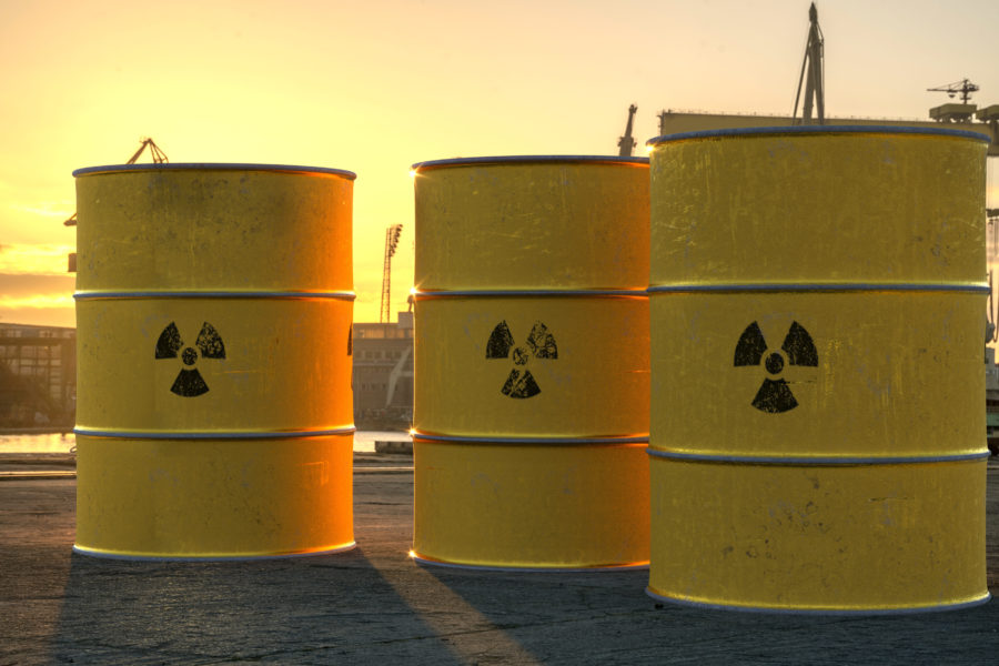
The Yukon gold rush simplified: A guide for investors, Part One

This is the first of a series of short articles aimed at the lay person or investor wanting to understand the present-day gold rush in the Yukon. Background information (geography, geology, history, and mineral deposits) as well as basic terminology, exploration techniques, and how an explorer can be successful or fail miserably will be explained in simple to understand terms.  In the end we will be presenting some of the companies that are part of this 21st Century saga.

The Yukon is a Canadian territory located in the country’s northwestern corner. The triangular-shaped territory covers 483,450 square kilometres. It is bounded to the south by the 60thparallel of latitude and British Columbia and to the west by the 141-degree meridian of longitude that constitutes the border with Alaska. To the north the frigid waters of the Beaufort Sea (Arctic Ocean) embrace its shores. The Canadian Northwest Territories are located east of Yukon and their border follows the divide between the Yukon River Basin and the Mackenzie River watershed.

Yukon’s geological history is long and complicated. The problem with geologists is that they invented such a complicated language that it would be easier to understand a half-naked Papuan stepping out of a jungle in the Stone Age than a bunch of dressed-up geologists attending a conference in Vancouver or Toronto – well, unless they step out of the room to grab a beer and begin taking on mundane subjects like good bars, sports, and field equipment.

Rocks that are billions of years old occur in the eastern part of the Yukon Territory– they are part of the Canadian Shieldor the ‘craton’, which is a term used to describe a package of old, thick and stable rocks that somehow got welded together billions of years ago and thus constituted the nucleus of the old continents. So when geologists talk about ‘Ancestral America’ they are not talking about the Old West and the gunslingers’ epoch but about this craton.

As one moves to the west things get more and more complicated. The main idea is that the Territory, as much as the rest of western North America, is made of different ‘slices’ of rock assemblages that got pushed against the edge of the aforementioned craton and then welded in place so we can admire them today in outcrops. They are rocks of different origins formed in different environments from the bottom of the ancient seas to the tops of the mountains. A geological map featuring them would look pretty much like a section of a multi-layered cake.

To make it even more difficult to understand its history, the ground cracked and formed important faults, and buckled up to create mountains. Even more importantly, magma welled up, seeped into rocks of different ages and origins, and as a result, important mineral deposits were formed.

From the age of the dinosaurs up to present day, the central part of theYukonwas subjected to weathering and erosion, which shaped the plateaus of the interior and their river systems. The big story back then was the rapid uplifting of theSt.EliasMountainsto the west – which becomes an important element of the modern-day gold rush.

The St.EliasMountainsbecame so tall that they influenced the local weather system and created a ‘rain shadow’to the east. That is, the rain soaked the western slopes but very little made its way over the top of the mountains and to the Yukon interior.

Then the Earth got into trouble and into an alternating period of warm-cold cycles (about 100,000 years each). These cycles were not man-made and — looking back from present day — should be woven into the storyline of a movie that comes to a theatre near you with Al Gore as the narrator. The ice advanced at least six times from east to west. Evidence of this can be seen by looking at the red soils formed in the warm periods that are preserved between glacial deposits.

The fun part was that while all of Canadawas covered by ice kilometres thick, the central and northern Yukon was ice-free, thanks to the lack of precipitation of course — remember the St.EliasMountainsrain shadow?

Huge herds of mammoths, camels, horses and lions roamed the steppes of the ice-free wilderness area of Yukon that connected to Asia through Alaska. Great quantities of ice locked on the continents translated into lower sea level and the appearance of a land bridge between North America andAsia.

These recent glacial events covered the bedrock and the much-coveted mineral deposits and created a mess. The moving glaciers left deposits (mud plus rock boulders = till), and the melting ice and rivers deposited gravel, sand and silt. The underlying rock was ground down by glaciers and the resulting silt was carried by rivers and deposited on the plains. Cold winds blew the silt over the ice-free Yukon, depositing it as a thick layer of loess. This loess comes back later on in the gold rush story.

And finally glacial deposits dammed some of the rivers, created huge lakes and changed the course of the rivers. Yukon River reversed its course and was made to flow to the north (to the delight of present-day Americans who enjoy some of the Canadian gold that gets carried across the border inAlaskaby the mighty river). Other notable recent geological events were volcanic eruptions and the subsequent depositing of ash beds.

Now, if you’re a simple investor that’s pretty much everything that you need to know as geological background info. Some of the main faults, rocks and eras that were extremely productive in terms of mineral deposits bear names coined by geologists, but you don’t really need to know their names if you want to be a successful investor.

I’ll get into more specific details in later parts of this series, when I explainYukon gold deposits and the Yukon mineral exploration business.

Next part  … History, Mining History and Legislation


4 Comments