PhotoSat Measuring Volume of Mount Polley Mine Tailings Spill from Space

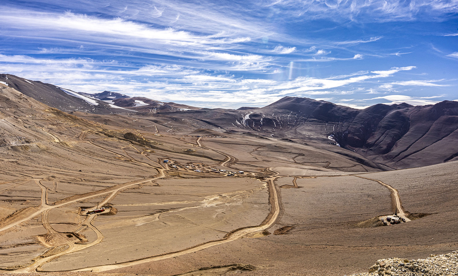
High resolution satellite photo of Mount Polley mine and tailings dam (CNW Group/PhotoSat Information Ltd)
VANCOUVER, Aug. 15, 2014 /CNW/ – PhotoSat announced today that it is in the process of accurately calculating the exact amount of tailings that has left the Mount Polley tailings dam using high resolution stereo satellite photos.
On August 4th 2014 Imperial Metals suffered a breach in the retaining wall of their tailings dam at the Mount Polley Mine in British Columbia, Canada. This sent millions of cubic meters of water and mine tailings spilling into Hazeltine Creek and the nearby lakes. The failure of a tailings dam is a catastrophic event.
PhotoSat is currently generating a highly accurate topographic survey from stereo satellite photos to estimate the volume of material spilled from the Mount Polley tailings dam and examine the structure of the remaining material.
“We are uniquely positioned to address the challenge of accurately calculating the amount of material that has left the Mount Polley tailings dam,” says PhotoSat President Gerry Mitchell. “Using our 20 cm accuracy satellite topography we can calculate changes in the tailings areas within a few days of the satellite image collection. This will help mine managers and engineers more clearly understand the extent of the breach during the investigation, repair, and remediation. Detailed topographic surveying will show the structure of the tailings that remain in the dam, and PhotoSat technology can monitor future changes.”
PhotoSat produces engineering quality satellite topography for bi-weekly and monthly monitoring of tailings disposal and storage areas, mine pits, and waste dumps for all of the Alberta Oil Sands mines. The satellite surveying is used for volume measurements and operational and engineering applications. In these applications PhotoSat achieves accuracies better than 15cm. PhotoSat also produces highly accurate satellite surveying for hundreds of other mines around the world.
Learn more at www.photosat.ca/blog.php
About PhotoSat
Vancouver-based PhotoSat has invented new technology to produce the most accurate topographic surveys from stereo satellite photos. The satellites can collect photos for projects globally without in-country permits or presence. These are ideal for surveying and monitoring mines or energy projects anywhere in the world.
Learn more at www.photosat.ca
{{ commodity.name }}
{{ post.title }}
{{ post.date }}


Comments