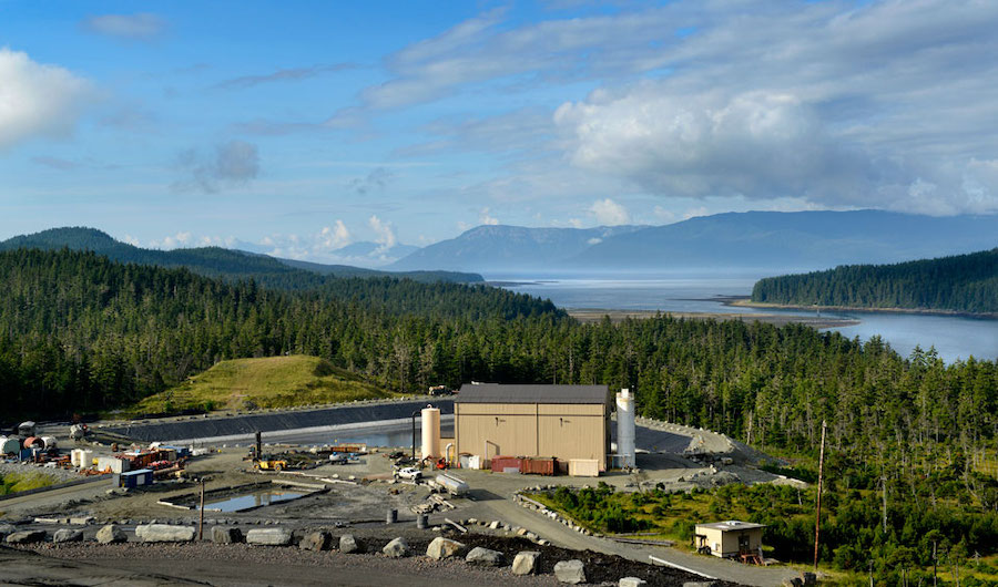
Mining volumetrics by satellite saves time and money
PhotoSat’s engineering quality satellite topography eliminates survey delays and assures accurate reconciliation across the entire mine site. The unique geophysical processing system produces 1m grid topographic maps and 1m contours from stereo satellite photos with elevation accuracies better than 30cm RMSE, tested and proven in numerous accuracy reports.
Mining operations around the world use PhotoSat for weekly, monthly, or quarterly accurate volumetric change calculations for reconciliation of tailings areas, waste dumps, ore stock piles, and pits.
Satellite mapping is also useful for other applications including verifying the “as built” locations of roads, power lines and other infrastructure.
Using satellites to supplement traditional surveying allows for increased reliability and accuracy while reducing the exposure of field crews to hazardous situations.
Contact us for more information: [email protected], 1-604-681-9770 or visit www.photosat.ca
Volumetrics at Penasquito Gold Mine, Mexico
In early 2010 PhotoSat calculated volume estimates for changes to the pit of the Penasquito Gold Mine over a period of approximately 1 month.
Stereo WorldView-2 satellite photos were taken of the Penasquito pit on January 31 and again on February 27, 2010. Using proprietary satellite topographic processing PhotoSat produced elevation values covering the mine site for these two dates.
The volume changes in the pit, the waste dumps, the leach pad, and the ore stockpiles were then calculated from the differences between the February 27 and January 31 elevation surfaces.

Figure 1: Penasquito pit January 31 and February 27, 2010
The volume changes can be seen in Figure 2 and Figure 3 below. Volume additions in the leach pad are shown in Figure 4.

Figure 2: Volume decreases January 31 to February 27. The estimated volume of rock and overburden removed from the pit is 5,542,400m3 of unblasted rock or 6,928,100m3 of blasted rock (assuming a 125% expansion factor for blasted rock). Some of the material mined is overburden with a lower expansion factor.

Figure 3: Volume additions January 31 to February 27. The volume additions to the Penasquito waste dumps, ore stockpiles and leach pad total 6,091,000m3 for the period of January 31 to February 27.

Figure 4: Volume additions for the Penasquito leach pad, January 31 to February 27, 2010.
Contact us for more information: [email protected], 1-604-681-9770 or visit www.photosat.ca
More News
{{ commodity.name }}
{{ post.title }}
{{ post.date }}


Comments