High wall scanning and 3D mapping are essential processes in open pit mining operations, enabling geologists and geotechnical engineers to identify rock types, mineral resources, and the stability of the terrain.
But traditional methods of 3D image capture can be expensive, time-consuming, and often increase the potential for harm to surveyors and other on-site personnel, rather than decreasing it.
San Francisco-based startup Skycatch is the first company to ship an end-to-end Real-Time Kinematic (RTK)-based drone survey system, and its eponymous aerial intelligence provides data capture, processing, and analysis tools to construction and mining industries in 20 countries.
“We have the technology for retrieving the data, and achieving high accuracy with drones,” Christian Sanz, founder and CEO of San Francisco – based Skycatch told MINING.COM.
“We spent a lot of the early years figuring out the technology that was needed to achieve and figuring out the use cases. We knew [for] mining uses, they rely on accurate data, they need 3d all the time for a variety of different functions,” Sanz said.
“And we knew that that technology wasn’t ready to be fully developed, fully ready to deploy into mining, because there were a lot of pieces that needed to be put together. So we started developing in 2014 with the goal and mindset that we wanted to automate all the steps that it takes to generate this level of data.”
Sanz said it was in 2019 that they had all of the components, from automation to sensors generating the data that was needed, to processing the data to all the technology behind the scenes to generate accurate point clouds, to then do an analytics, all of it in one box.
“Our technology runs in the cloud, its flexible and beyond that, we’re the only company that can replace laser scanners in terms of accuracy,” Sanz said.
Due to the pandemic, mining companies are trying to expedite the process of putting less headcount in the field, and doing a lot more scans and doing a lot more remotely, Sanz pointed out.
“And the only way that you can do more things remotely is by increasing the amount of disability you have on-site using digital tools.”
“More recently, we’ve been expanding our analytics tool, which we’ve been building since 2013, but now really getting deep into more advanced analytics,” Sanz said. We can achieve higher, faster, more reliable server-grade data for mining and construction.”
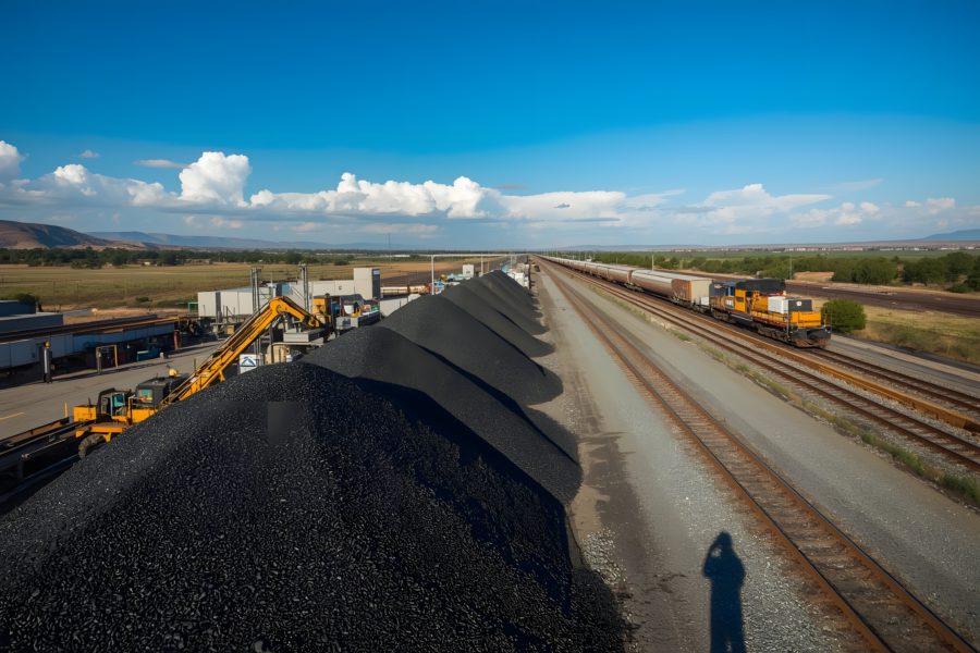
Sanz said using Skycatch, if miners can improve the margin of error in the volume of calculations for stockpile measurements by just 1%, that amounts to savings of over $300,000 a year, per mine.
“The savings and reports that we’ve seen so far in terms of ROI has been about $6 million for one year alone, when you’re expanded into some of those use cases. And we’re also projecting about $60 million of ROI in terms of survey data in the next three years,” Sanz said.