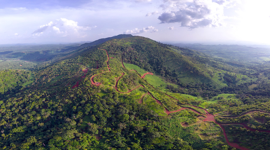
Rare earth mining growing in both China, Myanmar bordering regions 

The Baiyun Ebo mine in China’s Inner Mongolia region is the site of almost half the world’s rare earth production. (Reference image courtesy of NASA).

Despite the 2012 policy implemented by China to shift away from rare earth mining and focus on processing, and the subsequent increase of mining in neighbouring Myanmar, new research shows that extractive operations have expanded on both sides of the border. 

A new paper by researchers at the University of Delaware found that between 2005 and 2020, the mining activity on the China side of the border increased by 130%, and the mining activity on the Myanmar side increased by 327%.

The study used remote sensing techniques to look at changes in mining surface footprints in the 15-year period in two rare earth mines located on either side of the Myanmar-China border, within Kachin State in northern Myanmar and Nujiang Prefecture in Yunnan Province in China.

Confirming rare earth mines

The research focused on how the various metals and minerals are extracted and how they find themselves integrated into the global supply chain.

“Our main focus was to look at the correlation between the policy standpoint and what is actually happening on the ground. We found out that it’s completely different,” Emmanuel Chinkaka, lead author of the paper published in Remote Sensing, said in a media statement.

Using satellite images and data from the NASA/United States Geological Survey (USGS) Landsat Program, the researchers looked at the two mines in resolutions up to 30 meters.

Because detailed geological and mineralogical survey data are not freely available in China and Myanmar, the researchers had to take an extra step to confirm that the mines were being used for rare earth elements.

To do this, they used satellite remote sensing and the USGS Spectroscopy Laboratory Library to determine the hyperspectral signature— a unique fingerprint left across the electromagnetic spectrum—by certain types of rare earth elements to verify their presence.

They indeed found amounts of neodymium in the mines.

“We wanted to be certain that we could see a reflector scale in the open pits of this specific mineral,” Chinkaka said. “Then, we were able to use satellite data and made comparisons with a field-based spectral reflectance of a neodymium sample from the USGS library. When you take that and you make a comparison of the image and the sample, we found that there was a 100% match.”

Different border

Julie Klinger, co-author of the paper and author of the 2018 book Rare Earth Frontiers: From Terrestrial Subsoils to Lunar Landscapes, noted that there has been a lot of public interest in rare earth extraction in Myanmar, especially since China has aimed to reduce mining within its borders.

“Because of that, one of the things that we wanted to investigate is, ‘Well, how important is the border, actually?’ along with determining whether or not mining activities are actually happening,” Klinger said. “The significant finding from our paper is that the border is not necessarily a hard line.”

Chinkaka explained that the team took images five years apart to be able to see the drastic increase in mining activity.

Surface mining extents for 2005, 2010, 2015, and 2020 draped on 2020 Landsat 8 OLI natural color imagery.
Surface mining extents for 2005, 2010, 2015, and 2020 draped on 2020 Landsat 8 OLI natural color imagery. (Image by Remote Sensing.)

“But then, when you look at the landscape of the area, there are no roads that lead from the boundary of Myanmar to the inside of Myanmar. The roads are going into the China side. So what does that tell us? That’s the biggest question,” he said. “There’s a lot of influence on the Myanmar side because of the proximity to China and on the Chinese side, that’s where the actual processing is taking place.”

This finding is significant because of the efforts underway to try to control or further sanction the Myanmar regime, in particular, around potential mineral exports from areas where there are documented cases of human rights abuses. One of the big challenges with enforcing those sanctions is the traceability of the minerals.

“You can say that this border region is indeed different,” Chinkaka said. “It just looks like whatever is happening on either side of this border is similar. And this method can be applied in many border areas where mining is happening.”

For the researcher, the methods he and his colleagues used in this paper provide empirical clarity on an otherwise mysterious border region.

“There are a number of other border regions throughout the world, the US-Mexico border, for example, where you have extractive and industrial activities occurring on either side of the border, two very different national-level policy regimes, and also potentially much more fluid relations on the ground,” Klinger said.

“Because you’re in two different political jurisdictions, there’s two different information regimes and it can be difficult to verify what is going on without using these multiple methods to actually look at the place. This study is part of a larger project to use machine-learning and geospatial techniques and also qualitative research to map and model the interaction between licit and illicit energy critical material flows globally.”