Interra Copper Corp. Announces Intensive and extensive KSpar / Biotite alteration and Native Copper Discovery Highlight the Gail Zone Sampling by Interra Copper
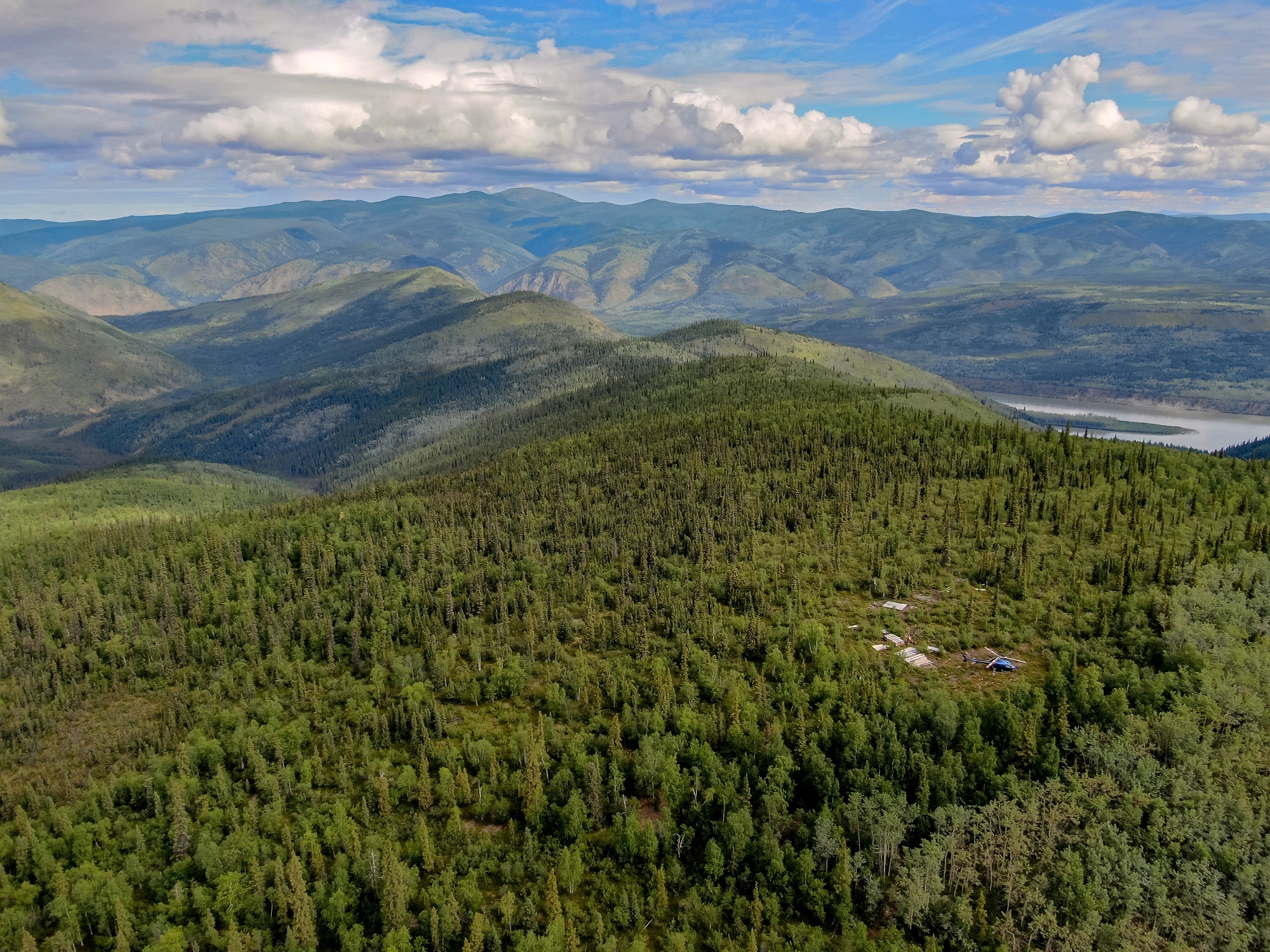
VANCOUVER, British Columbia, Oct. 26, 2021 (GLOBE NEWSWIRE) -- Interra Copper Corp. (CSE: IMCX) (OTCQB: IMIMF) (FRA: 3MX) (“Interra” or the “Company”) is pleased to announce completion of further ground geophysical and geochemical work at its 206 square kilometer Thane Property in North Central British Columbia.
Interra has conducted further geophysical and geochemical work supporting our thesis of a nearby copper porphyry system, with the geology demonstrating further relevant signatures and supporting mineralogy. Geological and core samples have now all been fully submitted to ALS, and we have begun to receive results from our summer program.
Grid establishment and soil sampling were completed at the Gail Zone. Four lines were established covering an historical copper/moly-in-soil anomaly identified in 1974 by Noranda Mining and Exploration Company, Limited (“Noranda”). This anomaly has historical soil samples of up to 2,100 ppm Cu and is on strike with the nearby Gail Showing (See Figures 1 and 2, below).
The following summary of historical results is taken from Dirom, Gavin, P.Eng, 1974, AR04599 Noranda. This report can be accessed through the following link:
https://aris.empr.gov.bc.ca/search.asp?mode=repsum&rep_no=04599
The Gail Lake grid is 1400 feet (430m) long and 200 to 800 feet (60 - 240m) wide in an area of limited soil development. Soil samples comprise a total of 44 collected at 100 foot intervals averaged 733 ppm Cu, with a maximum of 2100 ppm. The samples also averaged 50 ppm Mo (up to 75 ppm) in the southern half of the grid where the highest Cu values were collected.
Composites of rock (talus) chips were also collected along contours above the elevation of the soil grid. Each sample represented a 60 m long transverse along the contour talus and comprised approximately 200 chips, each chip taken about 1 ft (0.3m) apart. Cu values averaged 520 ppm and up to a maximum of 710 ppm indicating anomalous values over the bulk of the area. Mo values were not reported.
Coarse-grained monzo-diorite is the main lithology with varying feldspar/mafic ratios and heterogeneous textures. Fine-grained granitic or syenitic lithologies are present as small dykes. Epidote is common in all rock types both as fine stringers or irregularly concentrated clots indicating broad propylitic alteration. Intense potassic alteration is indicated by salmon red coloration of the granitoids and also by complete biotitization and/or chloritization of the mafic hornblende crystals.
Pyrite, chalcopyrite, molybdenite, bornite mineralization occur as irregularly distributed blebs and smears in veins and fractures and as sporadic disseminated mineralization adjacent to them.
Figure 1 – Gail Area Lithology with Soil and IP Grid ( Interra 2021) https://www.globenewswire.com/NewsRoom/AttachmentNg/05e4248f-1985-4df8-952a-38e218c688b5
Figure 2 - Noranda historical Gail Area Soil Grid reproduced by Interra (results from BCGS AR Report 04599, and Naas, Christopher O., 2011. Data Compilation, Geological and Prospecting on the Thane Creek Mineral Claims, unpublished report, Assessment Report 32106. https://www.globenewswire.com/NewsRoom/AttachmentNg/3d63b9f9-7020-4447-98ee-b1d6bc2e4f8d
In addition, Interra has discovered supergene native copper in relation to this system. Figure 3 below is a recent sample of native copper at Gail.
Figure 3 – Supergene Native Copper Sample within fractures from Gail https://www.globenewswire.com/NewsRoom/AttachmentNg/6222e99d-5989-4bbf-a586-be076e623e7f
Positive prospecting along with our expected results from the Gail zone make this target a high priority for our 2022 summer program.
Jason Nickel, Interra CEO States; "Our Thane property has continued to produce the positive geological results we have come to expect after 9 years of investment in the project. The identification of 5 solid bulk-tonnage copper gold targets is a result of our own work and the work of number of accomplished junior and senior mining exploration companies. We are pleased to have completed further work on our Gail zone which has now become a top priority for next stage of drilling and exploration towards realizing value from this significant potential.”
The scientific and technical information disclosed in this news release was reviewed, verified and approved by Christopher O. Naas, P. Geo., COO of Interra Copper Corp, who is a “Qualified Person” as defined in N.I. 43-101. ON BEHALF OF INTERRA COPPER CORP.
Jason Nickel, P.Eng. Chief Executive Officer Telephone: +1-604-754-7986 Email: [email protected]
INVESTOR RELATIONS:
Email: [email protected] Telephone: +1-604-588-2110 Website: https://interracopper.com
ABOUT INTERRA COPPER CORP.
Interra is a junior exploration and development company focused on creating shareholder value through the advancements of its current assets that include the Thane Property in north-central British Columbia. Utilizing its heavily experienced management team, Interra continues to source and evaluate assets to further generate shareholder value.
The Thane Property covers approximately 206 km2(50,904 acres) and is located in the Quesnel Terrane geological belt of north-central British Columbia, midway between the previously operated open pit Kemess Mine and the current open pit Mount Milligan mine, both two copper gold porphyry deposits. The Thane Property includes several highly prospective mineralized areas identified to date, including the ‘Cathedral Area’ on which the Company’s exploration is currently focused.
Forward-Looking Statements: This news release contains certain “forward-looking statements" within the meaning of Canadian securities legislation, relating to further exploration on the Company’s Thane Property, the submission of core samples and receipt of assays thereof. Although the Company believes that such statements are reasonable, it can give no assurance that such expectations will prove to be correct. Forward-looking statements are statements that are not historical facts; they are generally, but not always, identified by the words "expects," "plans," "anticipates," "believes," "intends," "estimates," "projects," "aims," "potential," "goal," "objective," "prospective," and similar expressions, or that events or conditions "will," "would," "may," "can," "could" or "should" occur, or are those statements, which, by their nature, refer to future events. The Company cautions that forward-looking statements are based on the beliefs, estimates and opinions of the Company's management on the date the statements are made, and they involve a number of risks and uncertainties. Consequently, there can be no assurances that such statements will prove to be accurate and actual results and future events could differ materially from those anticipated in such statements. Except to the extent required by applicable securities laws and the policies of the Canadian Securities Exchange, the Company undertakes no obligation to update these forward looking statements if management's beliefs, estimates or opinions, or other factors, should change. Factors that could cause future results to differ materially from those anticipated in these forward-looking statements include risks associated with mineral exploration operations, the risk that the Company will encounter unanticipated geological factors, the possibility that the Company may not be able to secure permitting and other governmental clearances necessary to carry out the Company's exploration plans, the risk that the Company will not be able to raise sufficient funds to carry out its business plans, and the risk of regulatory or legal changes that might interfere with the Company's business and prospects. The reader is urged to refer to the Company's reports, publicly available through the Canadian Securities Administrators' System for Electronic Document Analysis and Retrieval (SEDAR) at www.sedar.com for a more complete discussion of such risk factors and their potential effects.

