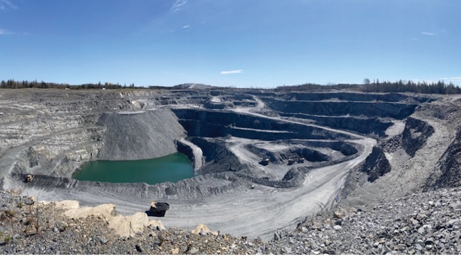
Military drones for mines and tailings

Last week two of the serious magazines that I read more for information than crass pleasure had articles on drones.  Those are the unmanned aircraft currently used to kill targets in the Middle East who have, or may want to play terrorist.   One of the articles told of the use of drones to catch some nasty people in Idaho who barricaded themselves on their independent-state farm.

Now today I receive an email that tells me the following: 

Aerial survey company Bluesky has launched a fast response aerial survey service using state of the art unmanned aerial vehicles (UAV) or drones. The technology, originally developed by the military, includes Artificial Intelligence (AI) guided autopilot, high resolution integrated camera and environmentally friendly rechargeable propulsion system. Autonomous take-off and landing ensures the system is easy to use and with a wingspan of less than a metre it can be easily transported without the need for complex assembly.

“Using UAV’s we can respond quickly to demands to collect site specific images and data in a very cost effective way,” commented James Eddy, Technical Director at Leicestershire based Bluesky. “The integrated camera captures high resolution photogrammetric images that can be used to create map accurate aerial survey data including height models. The system is compact and lightweight making it easy to store and transport and can be launched by hand from virtually any location. Flight planning software and an Artificial Intelligence guided autopilot make it easy to control and the system will gently and safely return to the ground with a single touch of a button.”

Potential applications of Bluesky’s UAV solution include open cast mines or quarries or even landfill sites where large volumes of material are extracted or moved on a regular basis. The geographically accurate imagery would provide a record of activity at a given point in time and the highly detailed height models could be used to measure stockpiles, cut and fill volumes and for facilities management and safety monitoring.

I can hardly wait to get my first project involving the use of a drone to monitor the performance of a mine tailings facility.  These days some are so big that it is impossible to see them all in one glance.  The biggest I am involved with is nine kilometers from one end to the other.  Even in a helicopter, it is difficult to get an overall impression of what is and what is not.  Imagine having a drone on patrol sending back high class images of beach formation, wet areas, channel flow, the change of pool geometry and the rest. 

Amazing it would be if this military invention and development came to be a common-criminal-catching and a common mine-management tool.

Comments