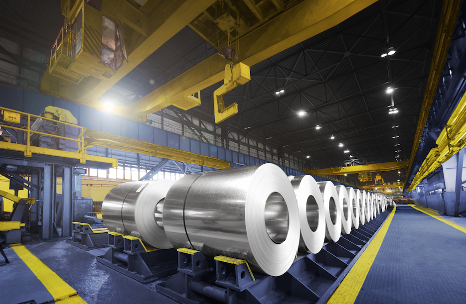
Machine learning helps Earth AI find high-grade molybdenum in unexpected place

Earth AI’s greenfield molybdenum deposit in New South Wales, Australia. (Image by Earth AI).

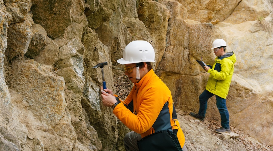
Clean energy metals explorer Earth AI has announced the first discovery of a greenfield molybdenum deposit using artificial intelligence.

The deposit was found near Armidale, New South Wales, Australia. It is a free, unlicensed land, believed to be barren.

But Roman Teslyuk, founder and CEO of Earth AI, and his team had a hunch. Thus, they decided to build a series of hypotheses and systematically test them. Each hole they drilled, tested a single hypothesis.

After eight months, four holes drilled under winter conditions in the high Australian plateau and many pieces of equipment lost to snow, they were able to pinpoint high-grade ore.

“Prior to this, we drilled four holes in the Northern Territory. This brings us to a one-in-eight success rate at discovering economic grade mineralization, which is a remarkable improvement over the industry standard of one in 200,” Teslyuk told Mining.com.

MDC: Can you provide more details of how the discovery came to be?

Teslyuk: Our Mineral Targeting Platform is a geological deep learning solution that’s really good a finding mineral systems using surrounding geological and geophysical data. It trains on virtually all known mineral prospects across the continent and, using this knowledge, predicts new systems.

In this case, we had a “juicy target” on land that had been turned over four times previously by junior explorers but also majors who spent hefty amounts of money on exploration and found no mineral deposits. 

But we committed, licenced the area, consulted with the community, obtained all the permits and began exploring.

We discovered high-grade molybdenum. The grades we observe are 1.5-2X higher than the world’s leading molybdenum mines.

High molybdenum grades were confirmed in three samples analyzed by a certified laboratory. These grades, registered at 0.3%, 0.26%, and 0.135%, exceed the currently mined grades of 0.16% and 0.14% found in the world’s leading molybdenum mines, Climax and Henderson. Both of these mines are owned by Freeport McMoran.

As a high-performance explorer of clean energy minerals, we don’t look for just one thing during our exploration. This is because there are multiple metals usually mixed into a deposit. We study the mineral system to understand which metals are likely to form an economic deposit, but also that means that we are indirectly tracking other critical metals like copper, tin, tungsten, and gold that might form adjacent deposits or be mined as a secondary commodity. In this case, we also intersected low-grade copper at 0.3% adjacent to high-grade molybdenum mineralization.

MDC: Earth AI says it uses modular drilling. Can you explain this?

Teslyuk: Modular drilling or responsible drilling refers to our innovative approach to mineral exploration drilling, which embraces modularity as key to redundancy and operational efficiency. It is a drilling hardware system designed by Earth AI to be self-sufficient, minimize environmental impacts and ensure a safe, efficient drilling operation in the most remote desert environments.

Our modular hardware eliminated the need for groundwork by design. Our onboard waste management system ensures the safe treatment and disposal of drilling waste. Modular drilling also enables significant logistical gains, as we can carry more stock in a highly organized manner, we come more prepared, and our operation can remain self-sufficient no matter what drilling challenge we encounter. 

MDC: Could you describe how the AI system employed to find the greenfield deposit works?

Teslyuk: It helps to understand how our entire process system works, which consists of three phases: Targeting, hypothesis, and drilling.

Our AI system is used for the foundation of our exploration, the targeting phase – our models train on millions of geological cases from the entire continent and have learned to identify areas of mineralization, and highlight locations with a high probability of finding a mineralized system. We deploy teams into the field to sample and review the targets. 

In the hypothesis phase, geologists are on the ground studying the mineral system. At this stage, a sister technology is utilized that helps them better understand the geological setting and aids them in forming hypotheses.   

The drilling phase is where we test our hypotheses by drilling down to a depth of 600 meters and proving or disproving the presence of mineralization. Each drill hole provides invaluable knowledge that is then fed back into the system and used to form new hypotheses.

As a result of this process, our AI prediction tools are the most accurate in the industry.

MDC: What baseline data are fed to this AI system?

Teslyuk: It is trained on a vast amount of data – 400 million geological cases from across the continent. The fundamental datasets for learning are remote sensing, geophysical and geochemical datasets.

MDC: How is your AI system different from others?

Teslyuk: Geoscience is a new domain for AI and our AI system is unique in its approach as it thinks like a geologist. The unique aspect lies in how we teach the AI to learn geology. To do this you need to be both a geology and AI expert, a skillset that is incredibly rare. 

Another important aspect of the Mineral Targeting Platform is the focus on re-learning the archive data at the continental scale.

Geoscientists are incentivized to churn out papers, and this means they generate more and more detailed but disconnected data sets, and nobody is incentivized to draw conclusions together. It is a very hard task that might not lead anywhere.

Lastly, the unique capability of our technology is the prediction of mineral systems with very low detection limits. This capability is incredibly valuable as all of the low-hanging fruit has been picked and no traditional regional targeting tools solve the problem. In the instance of the molybdenum porphyry, the surface expression of high-grade 0.3% molybdenum mineralization was a borderline detection limit of 0.002% soil anomaly.