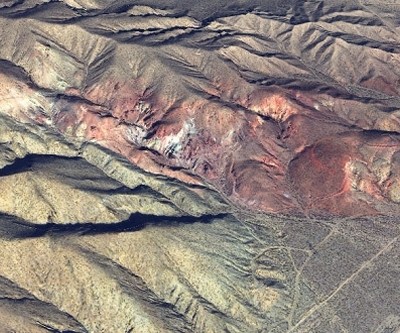
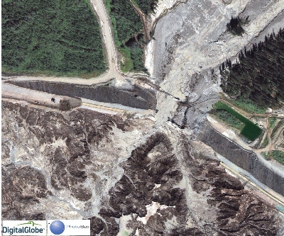
PhotoSat delivers highly accurate satellite surveying of AbraPlata Diablillos Silver Project in Argentina
PhotoSat is pleased to announce that it has completed satellite surveying of the AbraPlata (TSX.V: ABRA) Diablillos Project in Argentina.