DeLorme Releases XMap 8.0 with Enhanced GIS, GPS Connectivity and Data Collection Tools
YARMOUTH, Maine – Oct. 18, 2012 – DeLorme, the innovation leader in professional mapping and navigation technology, disconnected GIS solutions, and personal satellite messaging, today announced the release of a significant upgrade to its XMap GIS suite. XMap 8 software is a form-based field data collection and editing system designed to optimize the transfer of information between GIS administrators and field personnel. Ideal for users who are not GIS specialists, XMap 8 helps mobile professionals to more efficiently record field observations and automatically synchronize the data with a master database.
“XMap 8 makes data collection and deployment simple and convenient for administrators and mobile field workers across all industries,” said Jim Skillings, Vice President of Commercial Products. “XMap 8 is simple to learn, user-friendly and provides a low-cost, versatile, all-in-one GIS software solution that can be fully integrated into existing enterprise GIS systems, including Esri. Remote workers in the energy, rail transportation, and natural resource industries can benefit from the easy-to-use functionality and affordability of this latest and most enhanced version of our XMap product.”
XMap 8 features a new database manager for enterprise users, which allows for quick selection of groups and individual users for subscriptions, and multi-select for both users and layers. The new version also features improved project file management and updated base maps that can be used to correct older project files. XMap 8 data and software installations have also been updated and optimized for larger institutions. Future updates can be easily patched without having to reinstall the entire application.
Additionally, when paired with the company’s inReach™ device, the new team tracking tab on XMap 8 allows multiple users to be tracked in real time over DeLorme base maps and user-data. Alerts can be customized indicating user movement, such as “no motion,” “no communication,” or SOS, in the event of an emergency. The team-tracking tool also supports geo-fencing alerts based on GIS objects.
XMAP 8.0 also includes access to DeLorme’s just-updated 2012 North America Data Set (NA 2012). Essential for any in-field application, NA 2012 data contains a high-detail reference base map that can be combined with user topographic, routing, and geocoding datasets to create a solid foundation for all GIS and mapping requirements. NA 2012 includes more than 7.1 million miles of routable road network; aerial, waterway and railway transportation routes; and 7.5 million miles of hydrologic network – more than doubling that of the previous network of oceans, lakes, rivers and streams. XMap 8 also integrates with the DeLorme 2012 Digital Atlas of the Earth (DAE 2012), which is available for purchase separately. DAE 2012 is the first-ever 1:125,000 scale seamless topographic map with consistent coverage of the world.
Other new features of XMap 8 include:
• Form-based field data collection tools are now included with each license
• Compatible with the DeLorme ArcSync Engine for automated data sync from the Esri ArcSDE to the DeLorme database
• One-step transfer of GIS layers to the DeLorme companion handheld PN-60 GPS device
• Integrated SQL technology for easier installation and routine maintenance
“XMap is ideal for enterprise users who want to manage their GIS data at the desktop or in the field. It simplifies the processes of collecting data out in the field and bringing that data back to the enterprise database,” said Skillings.
XMap 8 is available in the Enterprise, Editor and Professional versions.
To download sample images of XMAP data and key features, please visit: www.delorme.com/media
More News
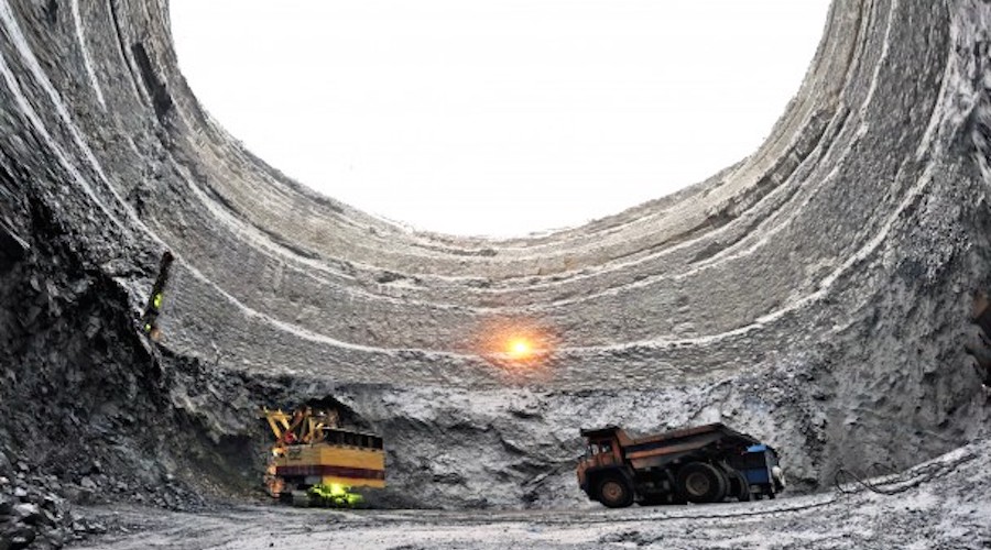
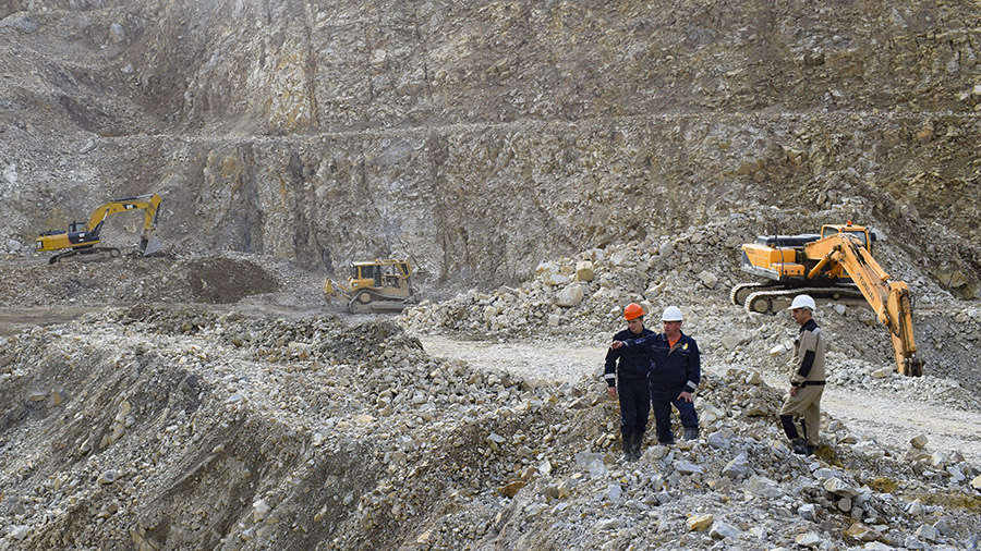
Alrosa suspends operations at less profitable deposits amid sanctions impact
The suspension will affect deposits with an annual production of less than 1 million carats.
March 18, 2025 | 10:05 am
Russian court transfers zinc producer Dalpolimetall to state ownership
Russia's finance ministry on Tuesday said it intends to revive plans for major privatizations in 2025.
March 18, 2025 | 09:54 am

Russian billionaire Potanin eyes rare earth metals exploration
Vladimir Putin has offered the US the opportunity, under a future economic deal, to jointly explore Russia's rare earth metal deposits.
March 18, 2025 | 09:32 am
{{ commodity.name }}
{{ post.title }}
{{ post.excerpt }}
{{ post.date }}
Comments