An Adelaide, Australia-based space technology company is revolutionizing mineral exploration by delivering 3D subsurface models in days, dramatically accelerating the acquisition and processing of geophysical data used for the selection of drill targets.
Fleet Space Technologies started off in 2015 as a satellite company focusing on industrial IOT solutions such as monitoring oil pipelines, offshore wind turbines, and hydroelectric power lines in remote locations before discovering a profound application in the mining and exploration industry.
“The problem with traditional surveying methods is the time it takes to collect, process and deliver the data to a mining company,” said Fleet Space’s Chief Revenue Officer, Kevin Ramani. “An array of geophones in the field would sit in the ground for weeks or even months collecting data and then be shipped to a geophysics company where the data would be downloaded, processed and returned to the customer on a flash drive, which is a very antiquated customer experience.”

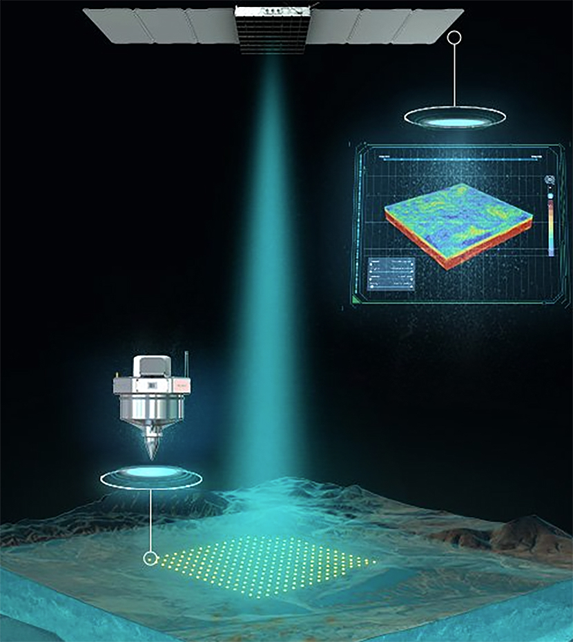
Fleet Space saw an opportunity to use its satellite constellation in low Earth orbit to collect the data in near real-time without having to remove seismic sensors from the field. Then, the company found that by combining satellite connectivity with Ambient Noise Tomography (ANT) – a low-impact technology for collecting passive seismic data – a solution could be created that delivers subsurface insights to exploration companies in near real-time anywhere on the planet.
“ANT listens to the sound that’s made by the movement of Earth’s tectonic plates and the general hum of the earth as it passes through the subsurface structures at different velocities,” explained Ramani. “The data from the noise is used to generate a 3D image so it’s almost like an ultrasound of the ground that geologists can use to identify fault lines, alteration zones and other geological structures.”
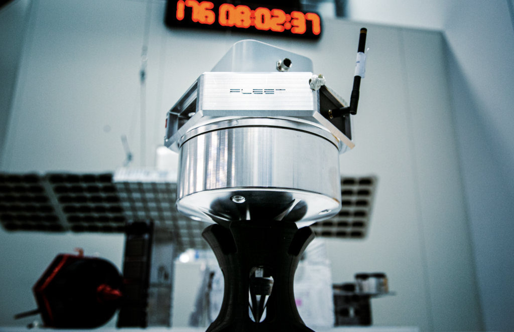
From there, Fleet Space designed and manufactured its patented seismic sensors – called Geodes – which bring together the latest advances in ANT, edge computing, and satellite connectivity to deliver 3D subsurface models of survey areas in days for clients around the world. Today, Fleet Space’s end-to-end mineral exploration technology called ExoSphere has been used to conduct over 250 surveys across five continents for over 35 mining companies, including Rio Tinto, Core Lithium, and Barrick Gold.
“We were able to bring the time it takes to collect the data down to as little as 48 hours,” said Ramani. “Our satellites collect the data, so it’s no longer necessary to ship the sensors in the field away. That means you can move them to the next area and rapidly conduct multiple surveys.”
Instead of taking weeks to process the data, Fleet Space can turn around a 3D model within days, allowing customers to make data-driven decisions while the Geodes and crews are still in the field.
“If they see something of interest at the margin of a surveyed area, they can make a real-time decision to move the Geodes and survey an adjacent area,” noted Ramani. “That’s something unheard of. Nobody else does that. Now, many of our customers are coming back for more surveys and the demand for our service is going through the roof.”
Fleet Space’s achievements aren’t limited to Earth. It was named Australia’s fastest growing company in 2023 and was awarded a contract to build a geophysical device, called SPIDER, to explore the Moon’s subsurface in 2026 as part of NASA’s Commercial Lunar Payload Service initiative.
The preceding Joint Venture Article is PROMOTED CONTENT sponsored by Fleet Space Technologies and produced in co-operation with MINING.com. Visit: www.fleetspace.com for more information.
Comments