Wolverine Minerals Corp. (TSX-V:WLV) min is pleased to announce that after a comprehensive review of historical information and analysis of the results of last year’s programs, it has now finalized its work program and budget for the 2011 field season on the Company’s Yukon properties optioned from Strategic Metals Ltd (“Strategic”). Estimated expenditures will be approximately $5 million, with the majority of this work to be focused on eight of the Company’s core properties. Through Archer, Cathro & Associates (1981) Limited (“Archer Cathro”), all crews, camps, equipment, drills, helicopters and other necessary supplies have been arranged and the following programs will begin on June 1, 2011:
Dawson Range District:
DDD-Shamrock (15,550 hectares) – Previous work on most of the property has been minimal except for the Shamrock area in the extreme southwest corner, which is a known porphyry copper gold system. Peripheral to the porphyry system, two gold geochemical targets were identified by work completed by Archer Cathro in 1985, when Archer Cathro stated that, “The larger target consists of several clusters of anomalous gold values scattered over a 2400 by 800 meter west-northwest trending area that extends off the property (as it existed in 1985) to the east” (This area is now covered by Wolverine’s claims). Reconnaissance soil sampling by Strategic in 2010 outlined significant clusters of anomalous gold and arsenic values in most areas of the property. A program of grid and contour geochemical soil sampling, prospecting and geological mapping will be augmented by extensive backhoe trenching, concentrating on the known porphyry copper gold system, to prioritize drill targets. This will be followed up by core drilling this season.
BBB (5,100 hectares) – Regional geochemical sampling was completed by Archer Cathro in the 1980’s and subsequent follow-up work led to the discovery of the Toast showing. The Yukon Government Minfile report documents a heavy mineral concentrate from the creek in the showing area which reportedly contained 14 g/t gold, and a float sample in the area assayed 27.3 g/t gold. Subsequent follow-up soil and silt sampling completed by Strategic personnel in 2010 confirmed and expanded the original anomalous values in the north, west, and southeast portions of the property, and led to the expansion of the claim block to the southeast. This expanded property now extends to the boundary of the Klaza property of Rockhaven Resources, and is located along a prominent northwesterly-trending linear feature. A program of grid and contour geochemical soil sampling, geological mapping and extensive backhoe trenching is planned to locate targets for core drilling later this season.
CCC (11,000 hectares) – Historical information from the Archer Cathro database noted anomalous gold and arsenic values on the property. Subsequent reconnaissance sampling by Strategic in 2010 outlined at least 6 clusters of anomalous gold and arsenic values dispersed in various areas of the property. The Company intends to complete a detailed program of contour soil geochemistry and geological mapping, followed by trenching of selected areas to prioritize targets for future drilling.
Dade Property: (1,960 hectares) – A 6 meter wide gold-bearing quartz vein occupying a northeast-trending fault zone was traced for about 600 meters by hand trenches and geochemistry in the early 1990’s. The gold and arsenic-in-soils anomaly is open in both directions along strike. Exploration will consist of closely spaced geochemical soil sampling and backhoe trenching to outline potential targets for drilling.
Sked – Desk Property: (870 hectares) – A WNW-ESE trending gold-silver-arsenic-mercury soil anomaly was identified within a broad magnetic anomaly and a moderate to strong IP anomaly in the early 1990’s. Historical trenching and drilling traced a mineralized zone for about 300 meters along strike and 150 meters down dip. Trenching returned anomalous to highly anomalous gold values over significant widths. Historical drilling encountered values up to 3.9 g/t gold and 17 g/t silver. Geochemical soil sampling by Strategic in 2010 indicates that the mineralized zone could extend at least 1000 meters along strike in both directions. Exploration will consist of grid geochemical soil sampling, backhoe trenching and reverse circulation drilling this season.
Finlayson District:
String Property (1,250 hectares) – Previous exploration work carried out from 1995 to 1999 was directed towards the discovery of volcanogenic sulfide deposits, however anomalous gold values were encountered in drilling. In 2010, Strategic expanded the area of the original geochemical soil survey and significantly enlarged this coincident gold-arsenic-antimony anomaly, which now measures at least 1500 x 400 meters in size and is still open to the northwest. The Company intends to continue to detail this anomaly with further grid soil sampling and backhoe trenching to prioritize targets for core drilling this season.
Hoole Property (1,190 hectares) – This property has a considerable history of past exploration, almost all of which was directed towards the discovery of volcanogenic base metal deposits. A number of gold occurrences were located at surface and in drill core, with grab samples to 10.34 g/t gold and anomalous gold values in numerous quartz boulders recorded. The Company intends to conduct backhoe trenching and shallow reverse circulation drilling to focus on the higher grade parts of the system. Contingent on the success of this work, a program of core drilling may be carried out in the fall of 2011.
Gam Property (1,335 hectares) – Geochemical soil sampling has partly delineated a large, annular, coincident gold-arsenic anomaly (approximately 2 km x 2 km), which correlates with a zone of listwanite alteration. This zone of alteration/gold-arsenic anomalies appears to be tabular in shape but its thickness, orientation and total area have not yet been defined. In 2010, chip sampling by personnel of Strategic from four short hand trenches in frozen talus returned strongly anomalous gold values (up to 0.44 g/t gold over 17.95 meters). The Company intends to more fully delineate the area of anomalous values by grid geochemical soil sampling, geological mapping and trenching to assess its potential for drilling.
Loop Property (1,045 hectares) – Anomalous gold and silver values were obtained from quartz float during early exploration work. Subsequent soil sampling by Strategic in 2010 located several clusters of anomalous gold and copper values in soils. Work for 2011 includes detailed soil sampling and shallow reverse circulation drilling.
The remaining 16 early stage properties in both districts will be explored by prospecting and reconnaissance geochemistry if time allows.
Contingent on the results of these planned exploration activities, individual programs could be extended into late September or early October.
The technical data in this news release has been reviewed and approved by James M. Dawson, P.Eng, who is a qualified person as defined in National Instrument 43-101. Technical data in this news release has been derived from the following technical reports of the Company: “Technical Report on the Finlayson Project, Watson Lake Mining District, Yukon, Canada”, authored by J. Douglas Blanchflower, P. Geo., and dated November 8, 2010, and “Technical Report on the Dawson Range Project, Whitehorse Mining District, Yukon, Canada”, authored by J. Douglas Blanchflower, P.Geo., and dated November 24, 2010. Copies of the technical reports are available on SEDAR at www.sedar.com.
WOLVERINE MINERALS CORP.
Thomas A. Doyle, President & CEO
Disclaimer for Forward-Looking Information
Certain statements in this release are forward-looking statements, which reflect the expectations of management regarding the Company’s overall business development objectives and plans. Forward-looking statements consist of statements that are not purely historical, including any statements regarding beliefs, plans, expectations or intentions regarding the future, and include discussion of the Company’s planned 2011 exploration programs. Such statements are subject to risks and uncertainties that may cause actual results, performance or developments to differ materially from those contained in the statements. No assurance can be given that any of the events anticipated by the forward-looking statements will occur or, if they do occur, what benefits the Company will obtain from them. These forward-looking statements reflect management’s current views and are based on certain expectations, estimates and assumptions which may prove to be incorrect. A number of risks and uncertainties could cause the Company’s actual results to differ materially from those expressed or implied by the forward-looking statements, including: (1) any number of events or causes which may delay the Company’s 2011 exploration programs, such as environmental liabilities, weather, mechanical failures, safety concerns and labour problems, (2) inability to finance operations, (3) inability to obtain all necessary permitting and financing, and (4) other factors beyond the Company’s control. These forward-looking statements are made as of the date of this news release and the Company assumes no obligation to update these forward-looking statements, or to update the reasons why actual results differed from those projected in the forward-looking statements, except in accordance with applicable securities laws. Additional information about the Company and these and other assumptions, risks and uncertainties is available in the Company’s public filings with Canadian securities regulators, available on SEDAR at www.sedar.com.
Neither TSX Venture Exchange nor its Regulation Services Provider (as that term is defined in the policies of the TSX Venture Exchange) accepts responsibility for the adequacy or accuracy of this release.
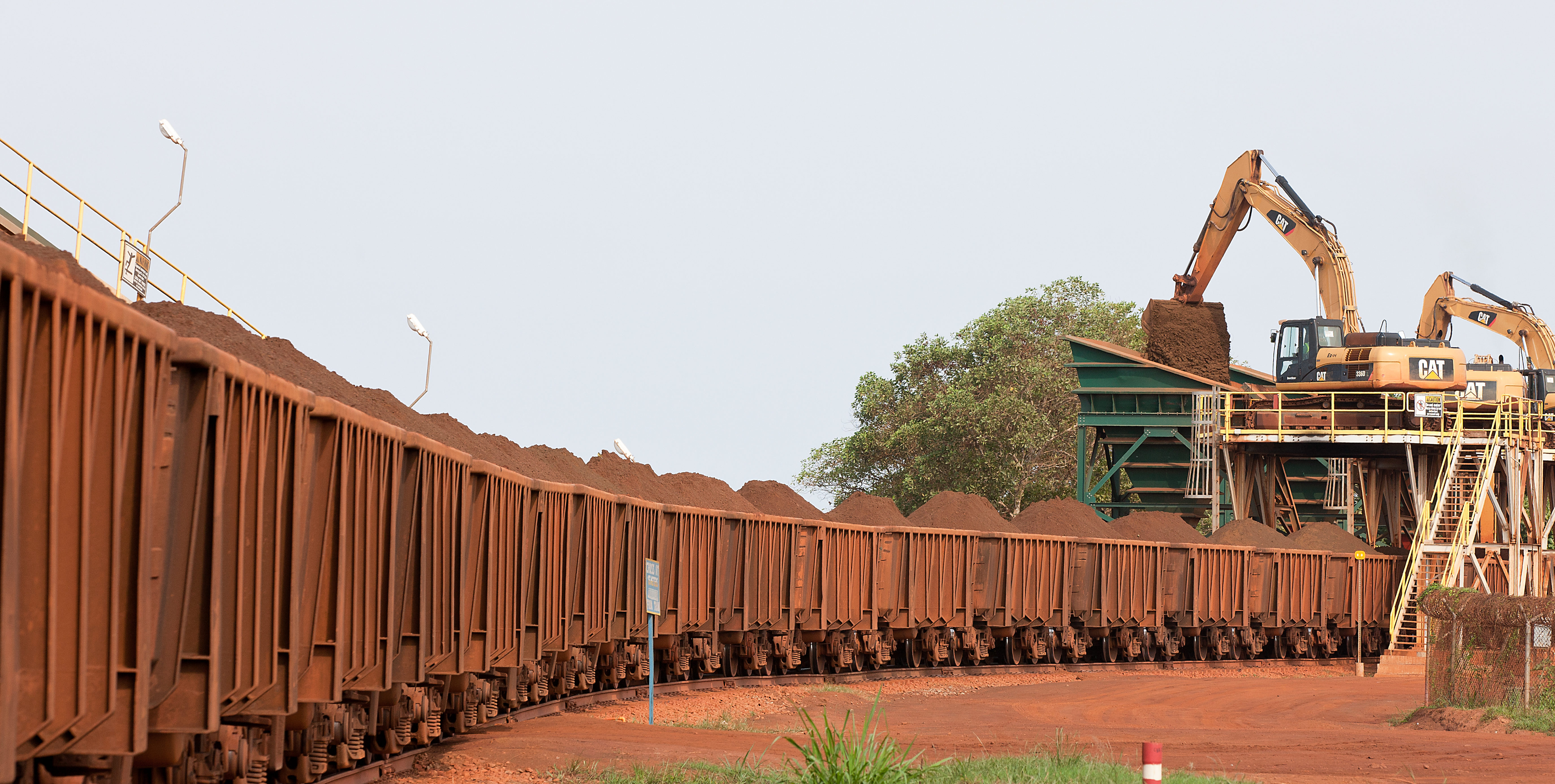
Image by Wolverine Minerals Corp.: DDD-Shamrock property.